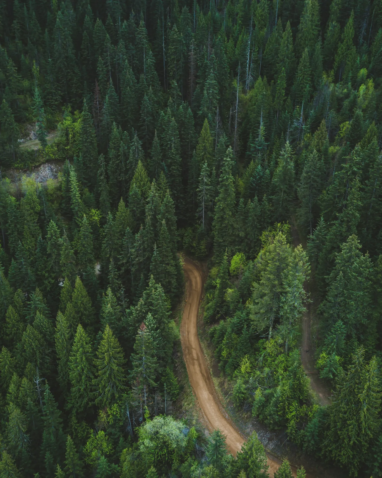
Drones for good means using drones to save lives, protect people and nature, and help communities: delivering medical supplies, mapping disaster zones, finding missing people, monitoring wildlife and restoring communications after storms. Some of these uses now run at scale. Zipline began in 2016 by flying blood and medical products to hospitals in Rwanda and has since passed 2 million deliveries across several countries. In 2017, the Government of Malawi and UNICEF opened Africa's first humanitarian drone testing corridor, a 40 km radius area for testing drones for imagery, connectivity and the delivery of supplies such as vaccines and lab samples.
This guide covers the main humanitarian and social uses of drones, real examples, the limits and ethics, and how organisations can start.
Table of contents
How drones are used for good
| Use | What drones do | Who uses them |
|---|---|---|
| Medical deliveries | Fly blood, vaccines, medicines and lab samples to clinics and remote areas | Health services, NGOs, delivery companies |
| Disaster mapping | Map damage after floods, earthquakes, storms and fires | Emergency services, aid agencies, governments |
| Search and rescue | Find missing people with thermal and zoom cameras | Rescue services and volunteers |
| Conservation | Count animals, detect poaching and monitor habitats | Conservation groups, researchers, park services |
| Environmental monitoring | Track erosion, pollution, forests and coastlines | Researchers, authorities |
| Communications | Carry temporary mobile network equipment | Telecom operators, emergency services |
| Infrastructure safety | Inspect bridges, power lines and dams without risking workers | Utilities and authorities |
Medical and essential deliveries
Drones are most valuable where roads are slow, seasonal or cut off, and where the cargo is small, urgent and valuable. Zipline's early work in Rwanda delivered blood to hospitals, and the company now operates in several countries in Africa, Asia and the US. UNICEF's Malawi corridor tested deliveries of items such as vaccines and lab samples. In Helsinki, Flyby Guys led BVLOS pharmacy delivery trials using a DJI M600. See our guides to drone delivery and heavy lift drones.
Disaster response and mapping
Rapid damage maps. Drones map affected areas within hours, at much higher detail than satellites and under the clouds.
Access routes. Video shows which roads and bridges are passable for aid convoys.
Flood and landslide monitoring. Repeat surveys show how water levels and slopes are changing. See our guide to DSM vs DTM.
Infrastructure checks. Damaged power lines, telecom towers and railways are assessed without sending crews into danger. See our guides to telecom disaster recovery and drone railway inspection.
Search and rescue
Thermal cameras show people at night, in forests and in water, and drones search large areas faster than teams on foot. Live video lets rescue coordinators direct ground teams to the right place. See our guides to drones for search and rescue, drone as first responder and finding missing dogs with drones.
Conservation and the environment
Wildlife surveys. Counting animals and nests with less disturbance than ground surveys or manned aircraft.
Anti-poaching patrols. Thermal cameras at night in protected areas.
Habitat and forest monitoring. Mapping tree health, deforestation and restoration with multispectral cameras. See RGB vs multispectral sensors.
Coastlines and water. Tracking erosion, algae blooms and pollution. See our guide to drones for maritime.
Restoring communications
When storms knock out mobile networks, tethered drones carrying cell equipment can restore coverage for responders and residents. After Hurricane Maria in 2017, the US FAA approved AT&T's tethered Flying COW drone in Puerto Rico, designed to cover about 40 square miles. See our guide to tethered drones.
Limits, safety and ethics
Airspace safety. Disaster zones are busy with rescue helicopters; drone flights must be coordinated with the authorities.
Privacy and dignity. Images of people in crisis must be handled carefully, shared only when needed and stored securely.
Local ownership. Programmes last longer when local pilots, authorities and communities are trained and involved.
Cost and sustainability. Delivery networks need long-term funding, maintenance and integration with health systems.
Weather and range. Battery drones have limited range and payload, and storms can ground them. See our guide to drone weather limits.
How organisations can start
Define the problem. A specific gap, such as slow delivery of lab samples or a lack of up-to-date maps after floods.
Check the rules. Emergency services often fly under national rules; NGOs and companies usually need specific category authorisations. See our guide to EU drone regulations.
Partner with experienced operators. Bring in operators who can plan complex, safe operations and train local teams.
Plan the data. Decide who needs the images or maps and in what format, and how they will be protected.
Measure impact. Delivery times, area mapped, people found or costs saved.
Frequently asked questions
What does drones for good mean?
Using drones for humanitarian, social and environmental benefit, such as medical deliveries, disaster mapping, search and rescue and conservation.
How are drones used in humanitarian missions?
To deliver medical supplies, map disaster zones, find missing people, assess damaged infrastructure and restore communications.
Are medical drone deliveries already in use?
Yes. Zipline began delivering blood in Rwanda in 2016 and has since passed 2 million deliveries across several countries.
How do drones help in disasters?
They map damage quickly, show which routes are passable, find survivors with thermal cameras and check infrastructure without risking crews.
What are the risks of humanitarian drones?
Airspace conflicts with rescue aircraft, privacy concerns, dependence on outside operators and the cost of keeping programmes running.


