Aerial data, delivered.

Drone inspections, mapping and 3D models across Finland and Europe.

Scroll to explore ↓

At Flyby Guys, We Don't Just Fly Drones, We Unlock Data From Above.

Contact Us

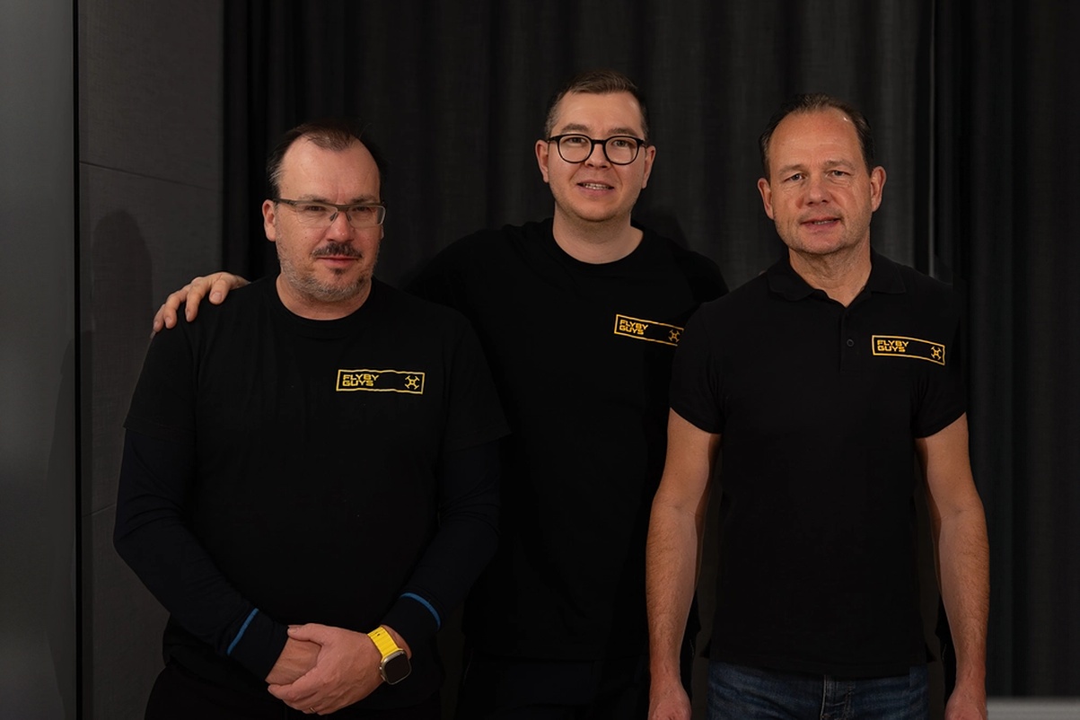
The Flyby Guys

Are

Experts

in drone-based

aerial data capture

Our drone data capture services give companies a powerful way to collect and analyse high-quality data across many industries. With advanced drones and skilled pilots, we capture data from difficult-to-reach locations, saving time and money while reducing safety risks. From construction to energy and telecom, our data helps your company work faster and make better decisions.

Hovering droneClouds background
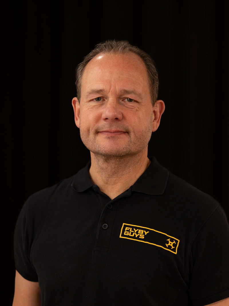
Stephen Sutton, CEO of Flyby Guys
z
Stephen Sutton
CEO
Chris Moore, Finance at Flyby Guys
z
Chris Moore
Finance
Kai Honetschläger, Business Development at Flyby Guys
z
Kai Honetschläger
Business Development
Collaborating with Flyby Guys is a pivotal step in our strategy to expand our footprint in Europe. Their operational excellence and deep understanding of the global drone landscape perfectly complement our mission to deliver world-class UTM solutions. Together, we are poised to lead the way in transforming airspace management and drone operations across the region.
Amit Ganjoo
CEO at ANRA Technologies
Flyby Guys has been an invaluable partner in the successful delivery of this project. Their commitment to quality, precision, and seamless cooperation has exceeded our expectations. The aerial data provided has given us unparalleled insights into the construction process, helping us maintain timelines and deliver the high standards our clients expect.
Tom Daintith
Project Director at Winthrop Technologies
We’ve worked with Stephen and the Flyby Guys team for the last two years and they’ve shown us what’s truly possible when combining our existing work for the City of Helsinki and with drones capabilities. We’ve become a more digital organisation. We trust Flyby Guys to deliver, and they continue to meet and exceed that trust every step of the way.
Paavo Lehmonen
Development Manager at Stara
We’ve been working with Stephen and the team for some time now, they have been incredibly professional when it comes to operating our fleet and liaising with our customers in multiple regions. If you are looking for support with drone light shows, make sure to chat with the Flyby Guys team.
Dani Napier
General Manager at Intel Drone Light Shows

Our drone data can be used for mapping, surveying, monitoring, and inspection purposes, providing businesses with valuable insights to make informed decisions.

We capture aerial photos, video, thermal images, 3D models and maps, and deliver them in the formats your team already uses.
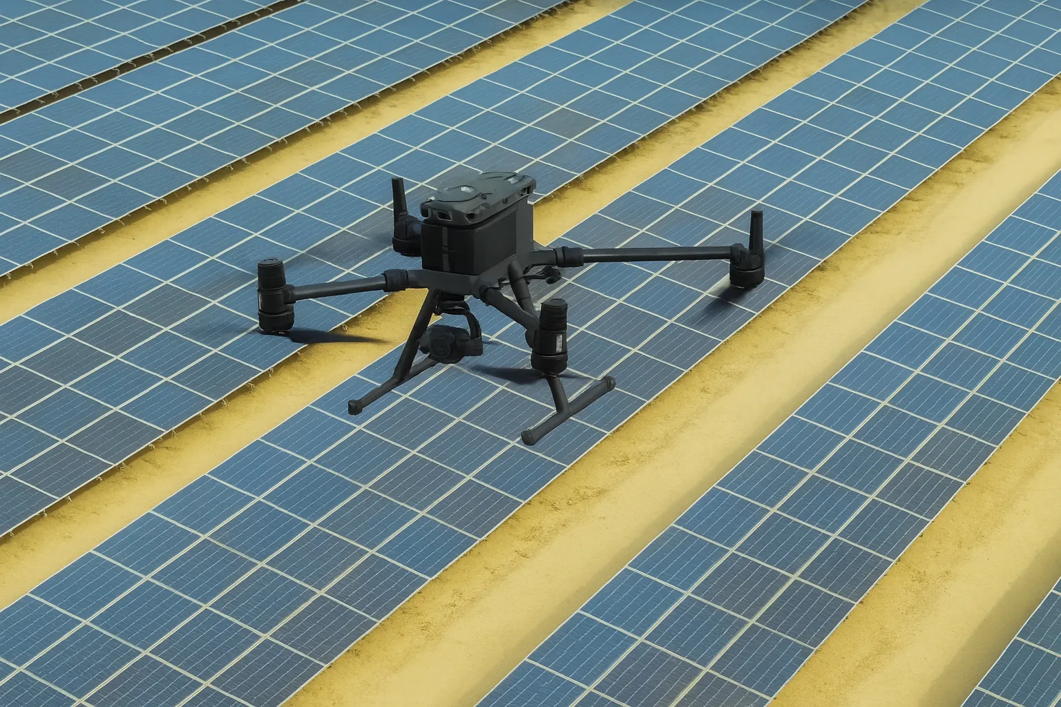
Inspection drone flying over rows of solar panels
Container ships in a port seen from the air
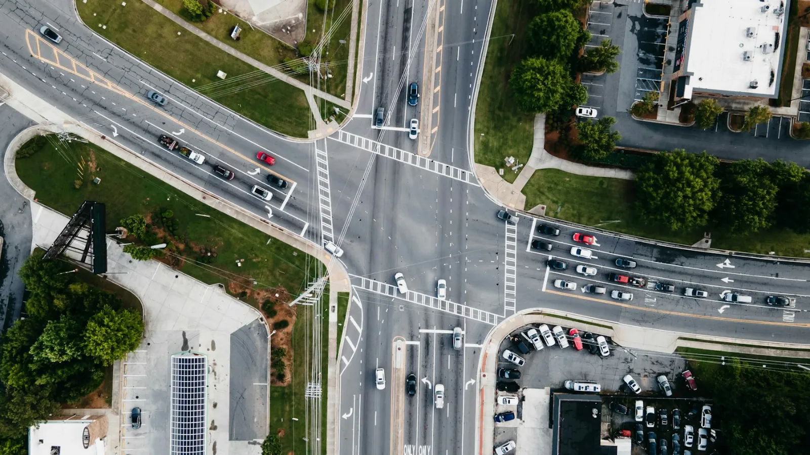
City intersection with traffic seen from above
Rooftops of houses seen from a drone
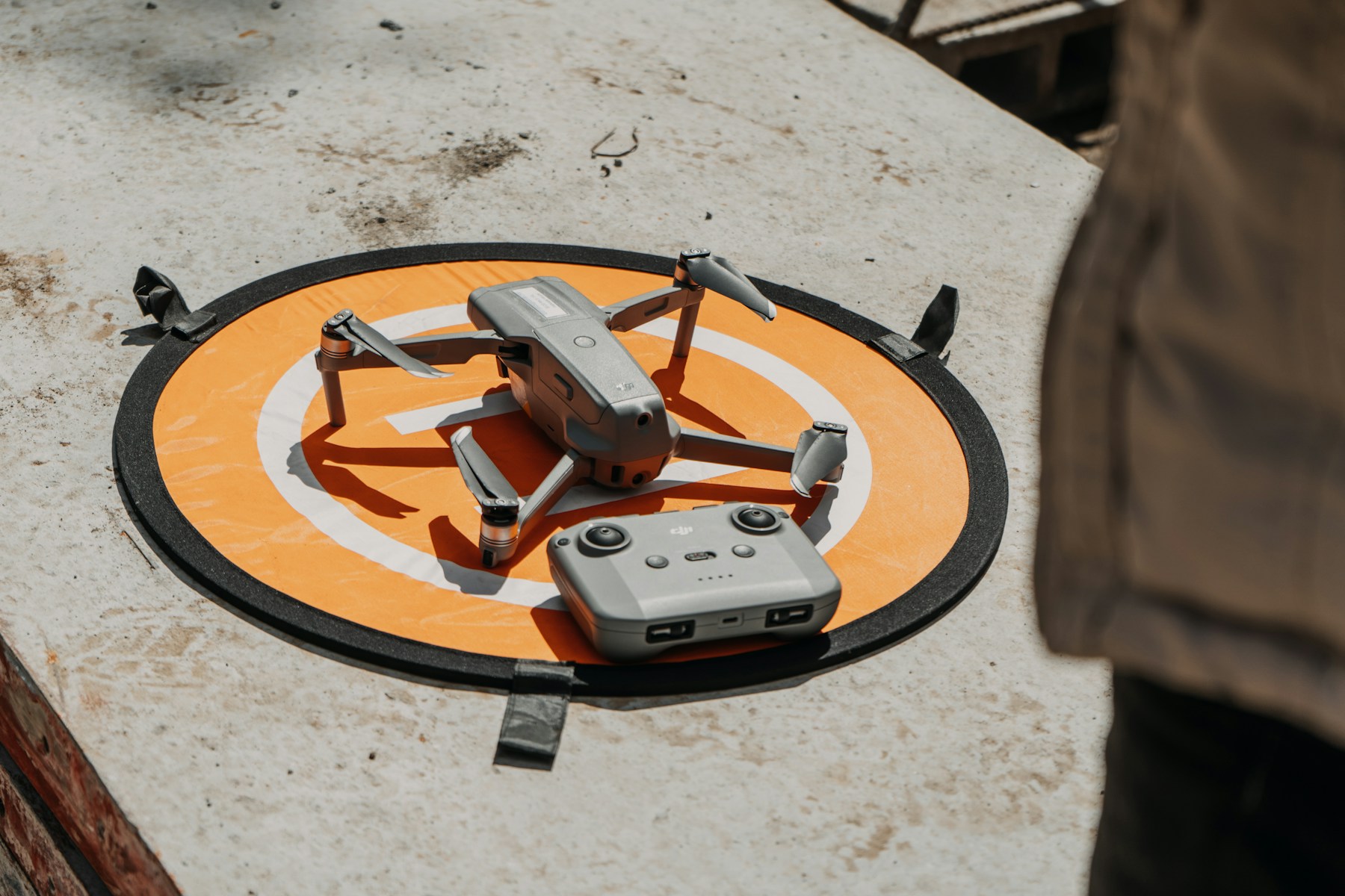
Drone on a landing pad before take-off

We provide you and your business with expert drone consultancy to help keep you up to speed with the ever-changing industry, and to help ensure you are doing everything safely and within the law.

Flyby Guys flew six drone pilots over three days in Helsinki to collect traffic data for MobiLysis, handling planning, permits and data delivery.

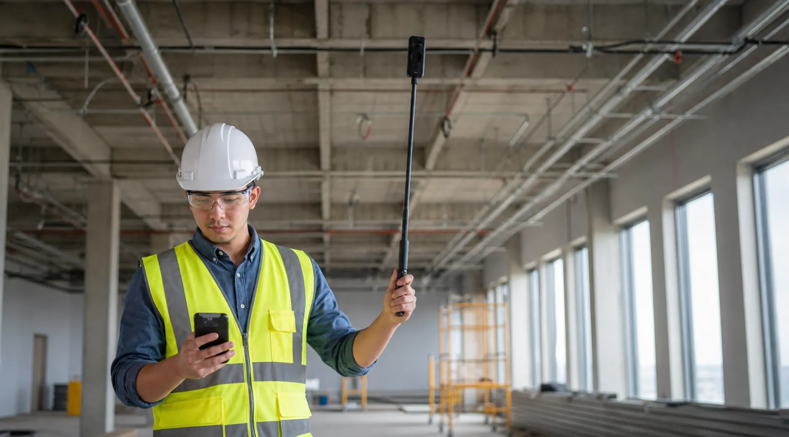
Winthrop partnered with Flyby Guys for aerial scanning to monitor their 48MW data centre construction.

Manna Drone Delivery partnered with Flyby Guys for an orthomosaic map to enable safe drone delivery in Espoo.

Insplan partnered with Flyby Guys to deploy IoT sensors on powerlines safely and efficiently.

Since December 2020, Flyby Guys has operated Intel's drone light shows across EMEA: over 200 flights, with up to 1,500 drones per show.

Flyby Guys helped Stara, Helsinki City Construction Services, collect drone data for sand removal operations and 3D map one of the city's largest parks.

Flyby Guys joins the Finnish Data Center Association (FDCA)

September 26, 2026

Read Post

We’ve Launched the Regulatory Tool We Wished We Had

September 21, 2026

Read Post

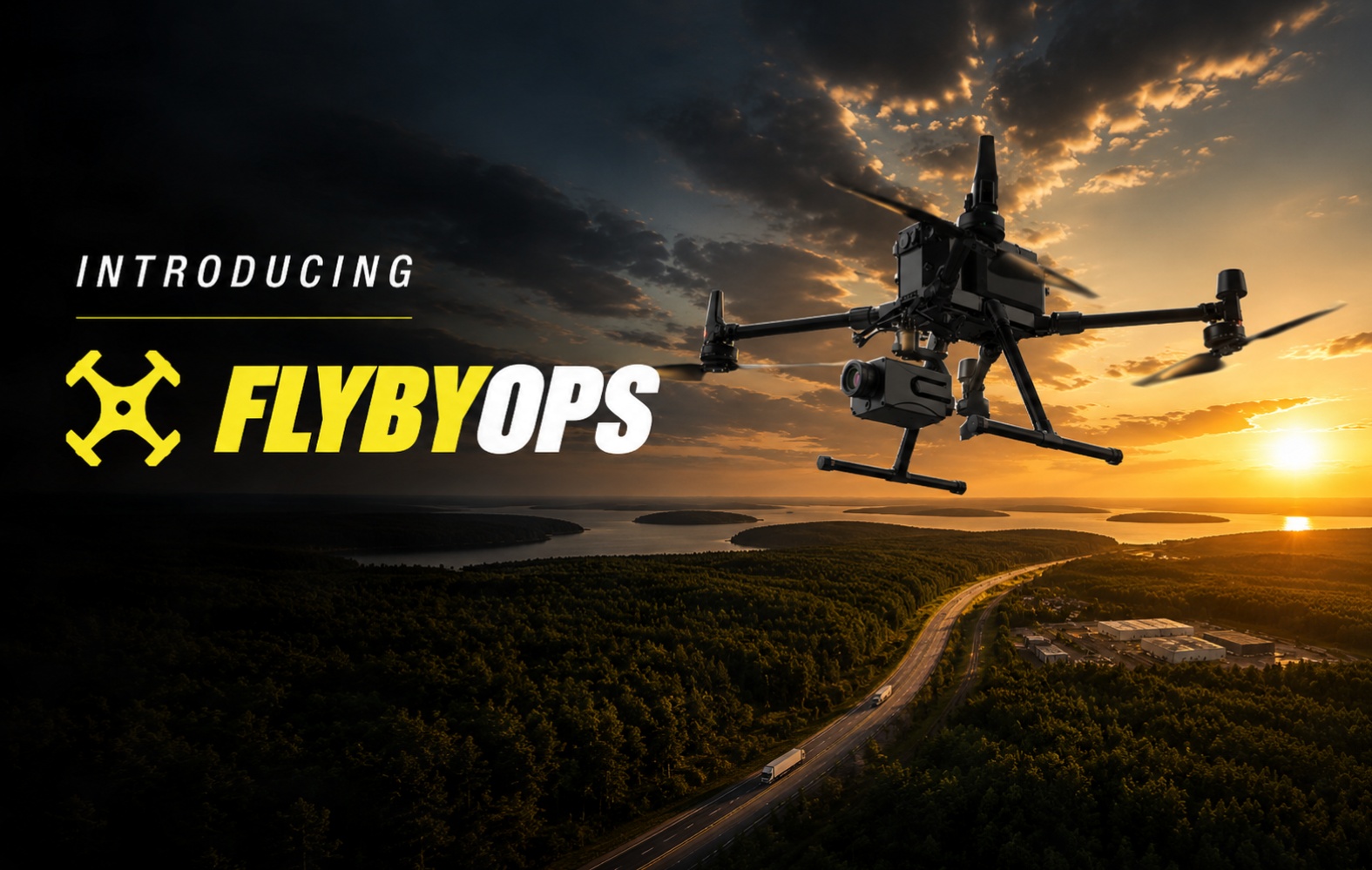
Introducing FlybyOps: Built for the next generation of BVLOS drone operations

August 11, 2026

Read Post

Sign up for the latest posts!

* We hate spam too. We will only use your email for Blog updates.

Thank you! Your submission has been received!
Oops! Something went wrong while submitting the form.

Drone flights can incorporate a wide range of circumstances, and it's important that all pilots are trained with proper safety procedures to minimise risk and downtime in certain unforeseen circumstances.

We've put together a pre-flight checklist for both professional and hobbyist pilots. This is similar to the one our team uses and has been crucial for minimising any risks.
Get the Checklist PDF
Flyby Guys team

We want to hear

from you

Whether you want to put on an incredible drone light show or  better manage your tower and solar assets, the Flyby Guys are here to help. So get in touch with the team to learn more.
Drop us a line!
We'll get back to you as soon as possible.
Thank you! Your submission has been received!
Oops! Something went wrong while submitting the form.

Questions?

What types of drone services do you offer?
Flyby Guys provides aerial inspections, mapping, 3D modelling, photography, videography and custom drone missions. We support asset owners, construction firms, infrastructure operators and industrial clients who need accurate and safe data collection from the air.

Which industries can benefit from your drone inspections and mapping services?

Our services support many sectors, such as telecom, construction, energy, real estate, critical infrastructure and industrial facilities. We also help organisations that need regular monitoring of large assets or remote sites.
What kinds of drones and equipment do you use?

We use a range of professional aircraft equipped with RGB cameras, thermal sensors, LiDAR units and specialist payloads when required. All equipment is chosen to match the project, so the results are accurate and reliable.

Are your pilots licensed and insured for commercial operations?

Yes. All Flyby Guys pilots hold the required certifications in the regions where they operate. We also maintain full insurance cover to protect our clients and teams during all field operations.

Can you operate internationally?

Yes. Flyby Guys teams have experience in multiple countries across Europe, Asia, the Middle East and North America. We are available for projects worldwide.

What deliverables will I receive after a drone survey or inspection?

You can receive high-resolution photos, detailed inspection reports, thermal imagery, 3D models, orthomosaic maps and video. The exact deliverables depend on the scope of your project.

How accurate is drone-based inspection and surveying?

Modern sensors allow high-precision data capture, often better than traditional manual methods. Accuracy depends on the equipment and environment, and we select the right payloads to ensure reliable results.

How fast can you complete a typical inspection or mapping project?

Many missions can be completed within a single day. Larger sites or complex assets may take longer. We always provide a clear timeline before work begins.

What are the cost and safety benefits compared to traditional inspections?

Drone inspections reduce the need for scaffolding, lifts and manual climbing. This lowers cost and minimises risk for personnel. The process is faster and provides detailed visual records that can be stored for long-term monitoring.

Can drones detect hidden issues such as cracks, leaks or thermal anomalies?

Yes. Thermal cameras, high-resolution lenses and specialist payloads can reveal problems that are not visible from the ground. Our reports highlight any anomalies we find.

How do you manage regulatory compliance and flight permissions?

Our team handles all required permits, local regulations and safety documentation. We carry out a risk assessment before each mission to ensure full compliance.

Do you offer long-term contracts or recurring inspection services?

Yes. Many clients choose ongoing monitoring packages for telecom towers, construction sites, energy assets and industrial facilities. Long-term programmes provide consistent oversight and faster issue detection.

What information do you need to prepare a quote?

We usually ask for the project location, asset type, objectives, deadlines, access considerations and any required deliverables. Our team will then provide a clear proposal based on your needs.

Flyby Guys drone show podcast artwork

Flyby Guys drone Show

podcast

Apple Podcast BannerSpotify Podcast Banner

We Are Looking for Pilots!

We are looking to grow our talented team and you could be the right fit to join us. If you've been flying a drone for a while and want to make a career of it, we want to hear from you!

Contact Us