Blogs
Blogs
Blogs
Blogs
Blogs
Blogs
Blogs
Blogs
Blogs
Blogs
Blogs
Blogs
Blogs
Blogs
Blogs
Blogs
Blogs
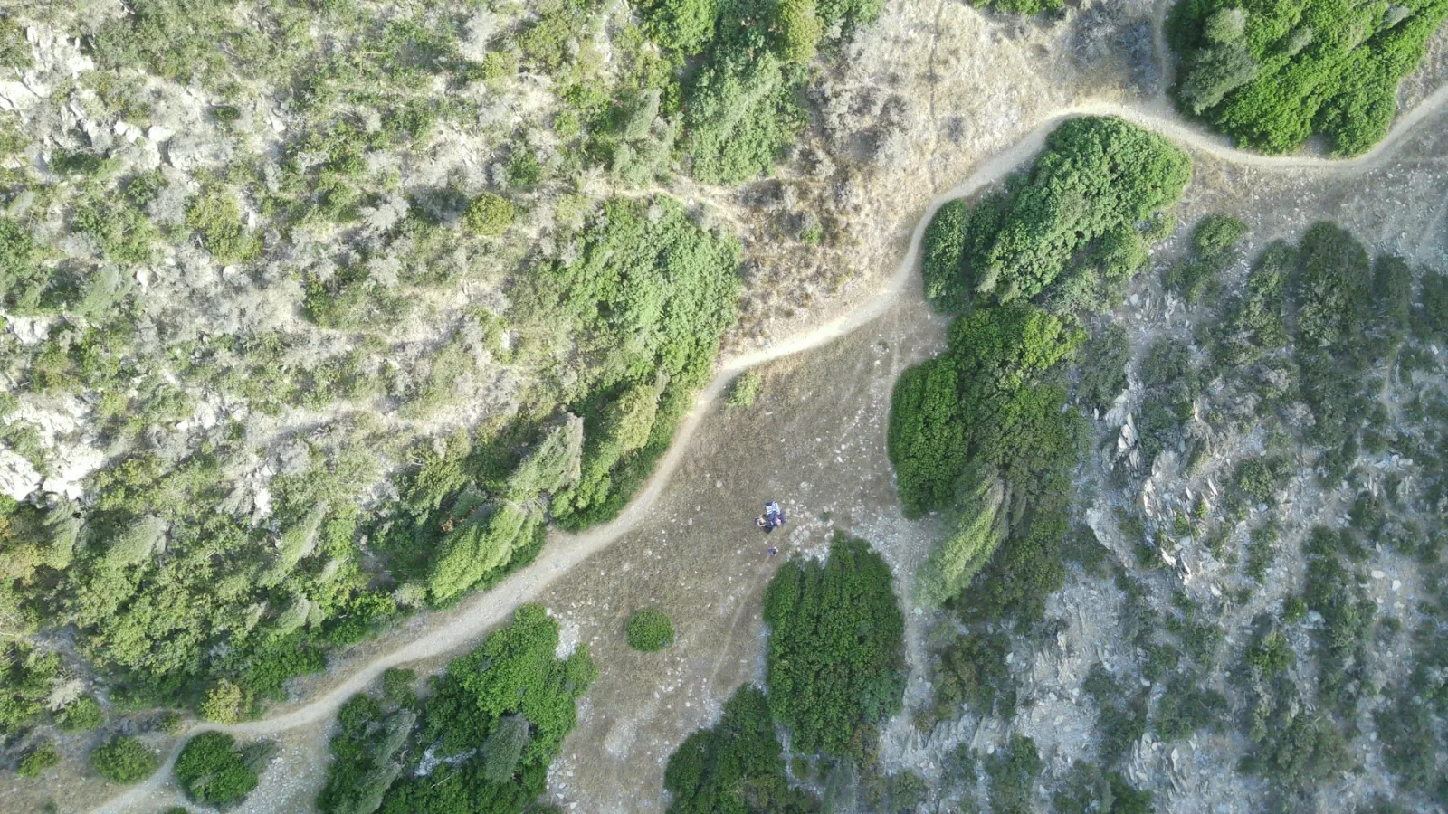
Orthomosaic Maps: What They Are and How Drones Make Them
What an orthomosaic map is, how it differs from an aerial photo or orthophoto, how drones create one, accuracy, software and uses across industries.
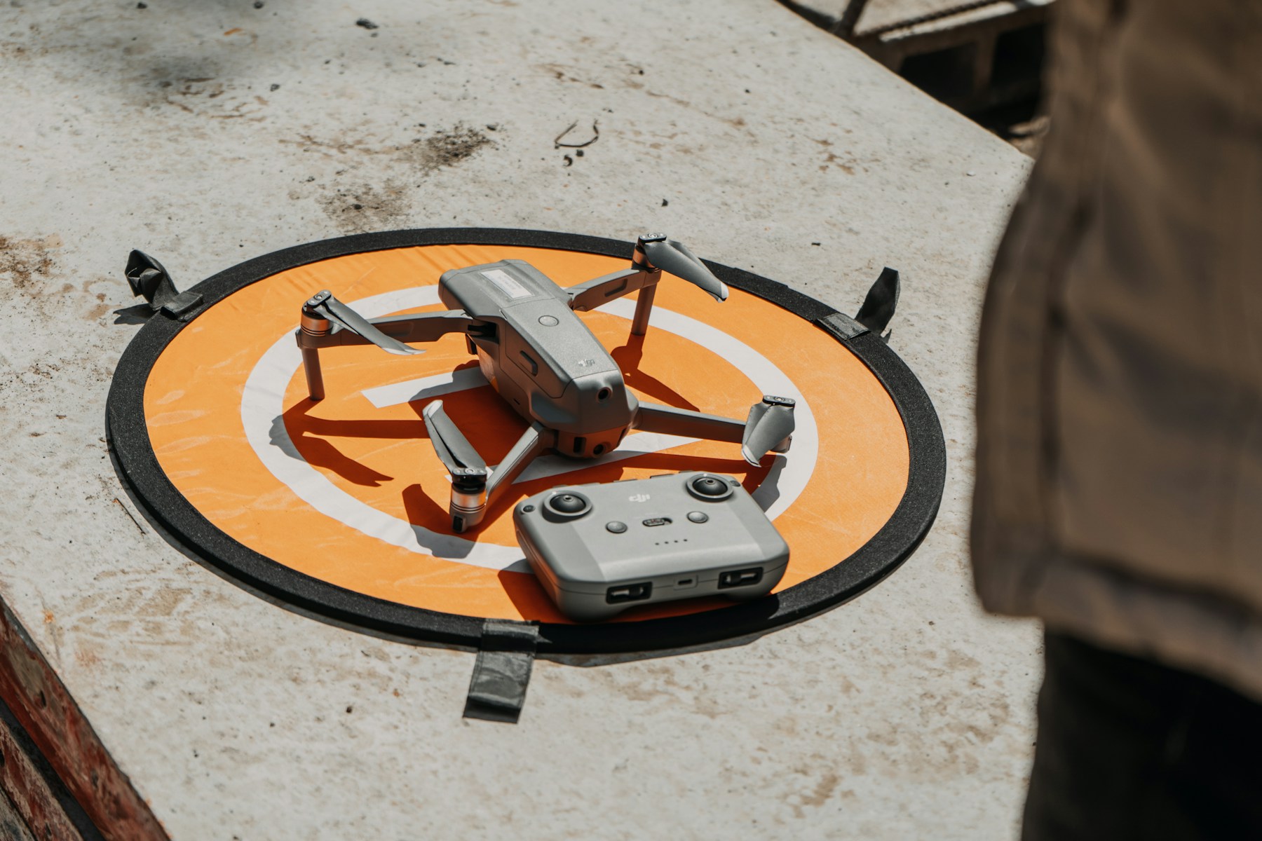
Drone Preflight Checklist for Professional Pilots
A professional drone preflight checklist: documents, airspace, weather, site, aircraft and failsafes, plus what Part 107 and EU rules require.
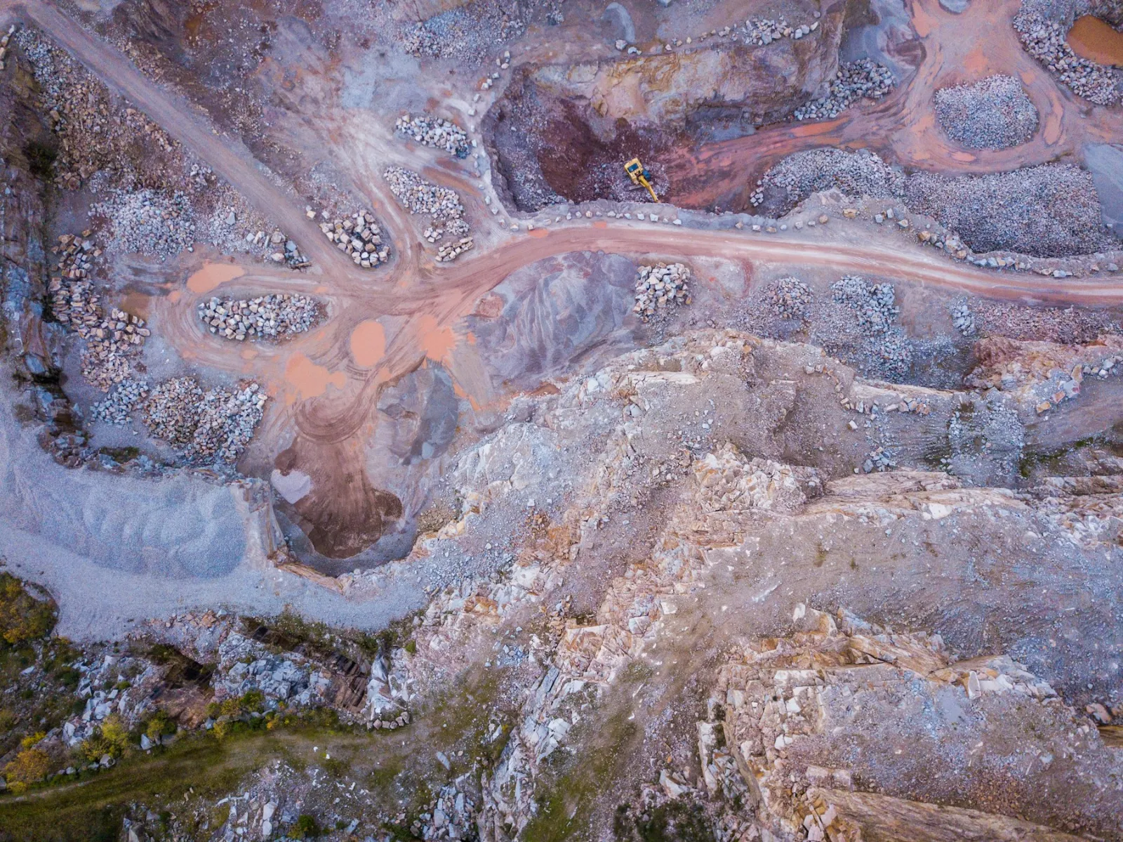
Drones for Mining: Surveys, Stockpiles and Safety
How drones are used in surface and underground mining: stockpile volumes, surveys, inspections, hazard monitoring and the rules for mine site flights.
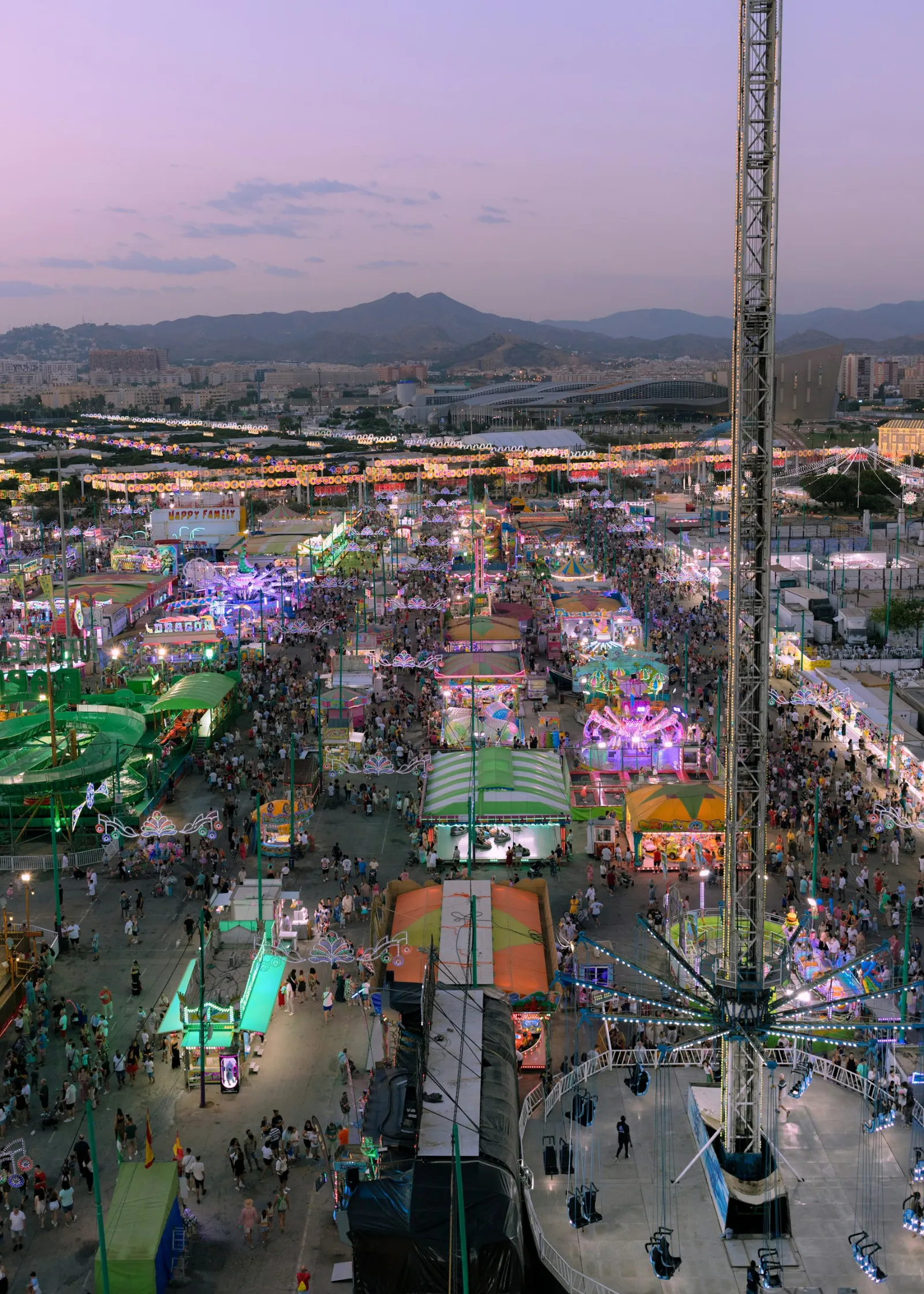
Drones for Crowd Control: Monitoring Events Safely
How drones help event organisers, security and police manage crowds: density, queues, exits, traffic, emergencies, rules, privacy and rogue drones.
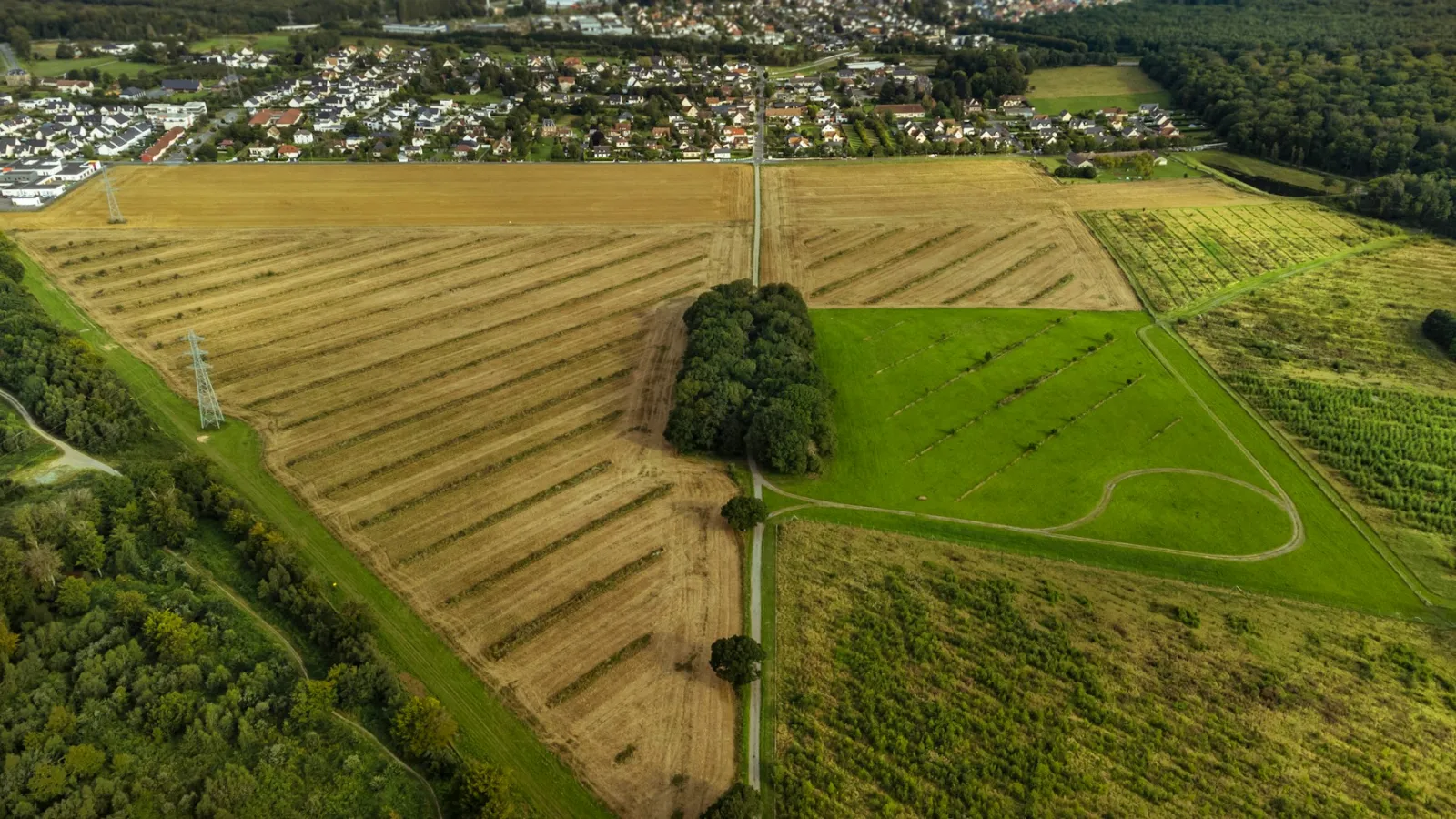
Drones in Agriculture: Crop Monitoring, Mapping and Spraying
How drones are used in agriculture: crop health maps, field mapping, plant counts and spraying, plus the EU rules on drone spraying and how to get started.
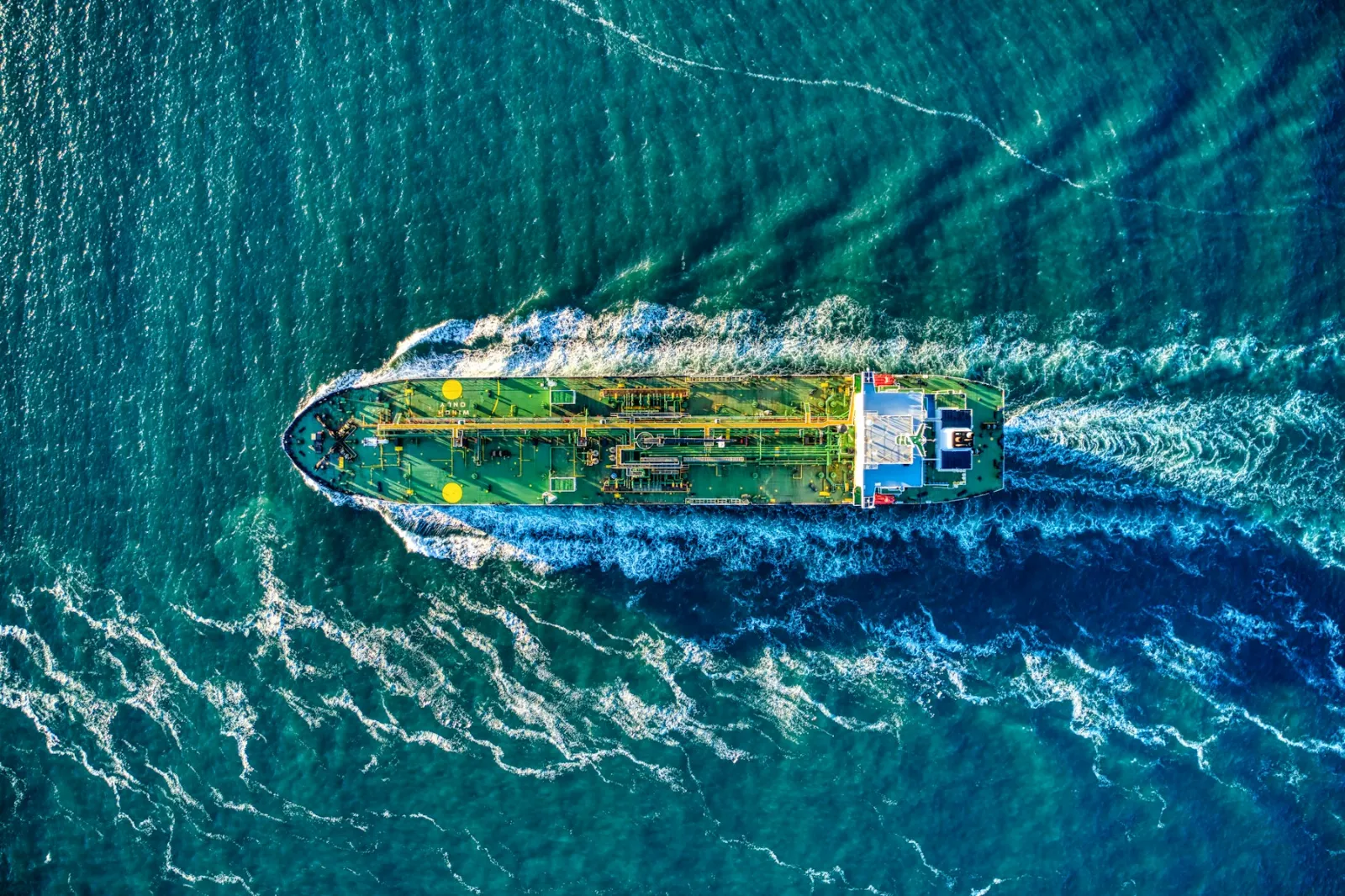
Maritime Drones: Ship, Port and Sea Surveillance Uses
How maritime drones are used for ship and tank inspections, ports, emissions monitoring, surveillance and search and rescue, plus types, limits and rules.
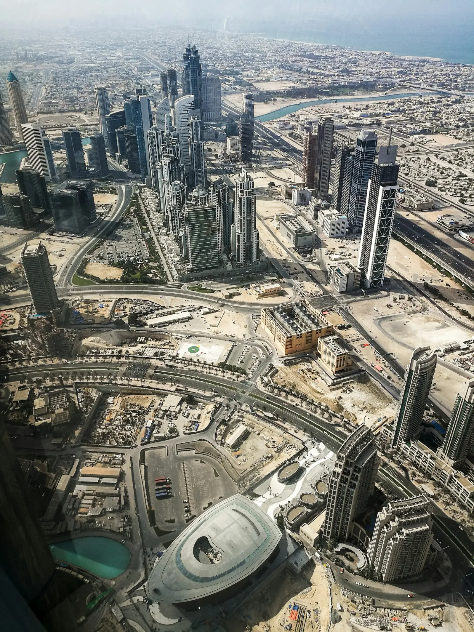
Drones in Urban Planning: Mapping, 3D Models and Data
How drones support urban planning: up-to-date maps, 3D models, traffic and green space data, public engagement, and the rules for flying in cities.
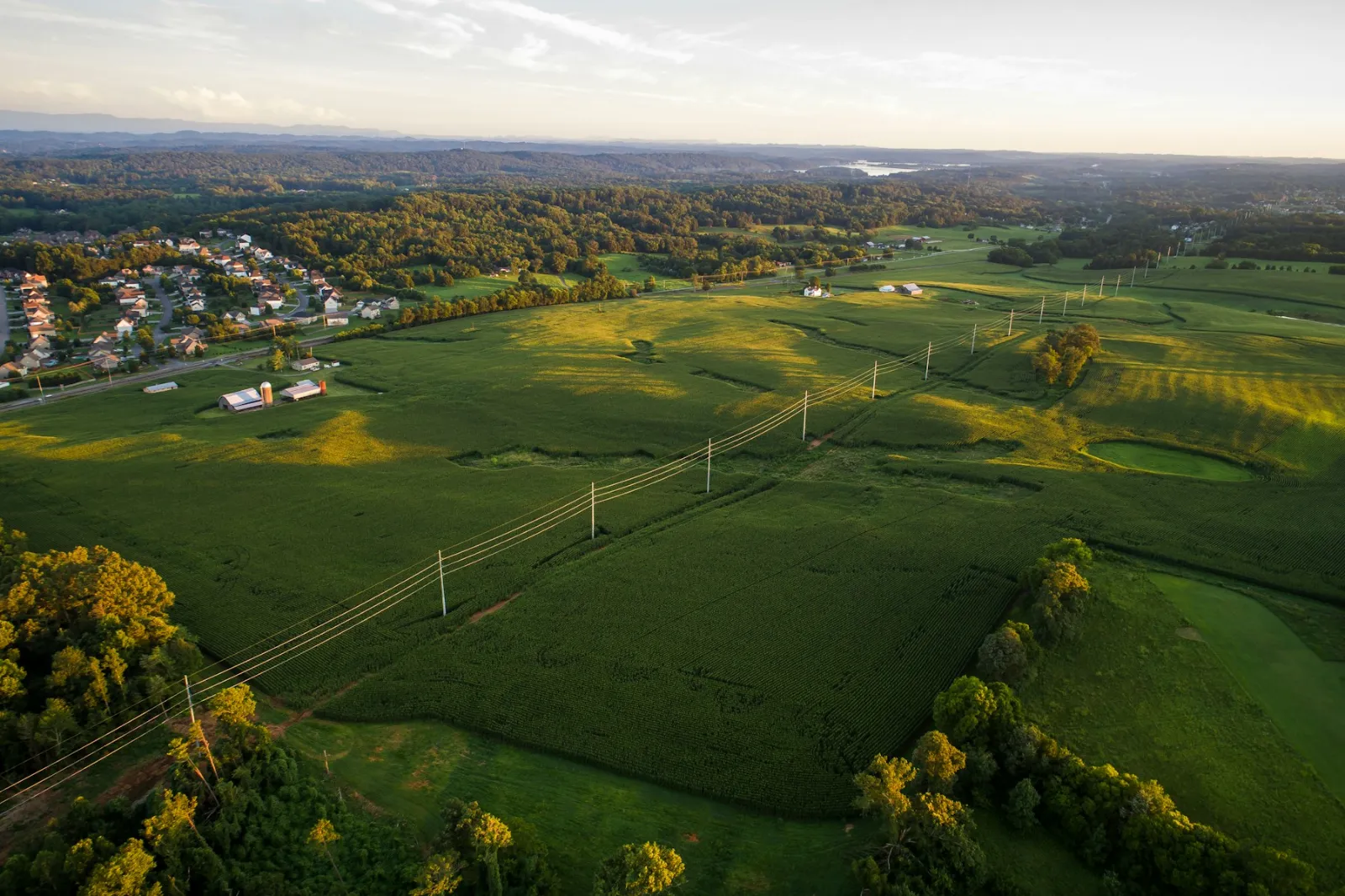
Powerline Inspection with Drones: Methods, Uses and Rules
How drones inspect overhead power lines: visual, thermal and LiDAR checks, storm surveys, Nordic examples, limits and the rules for BVLOS flights.
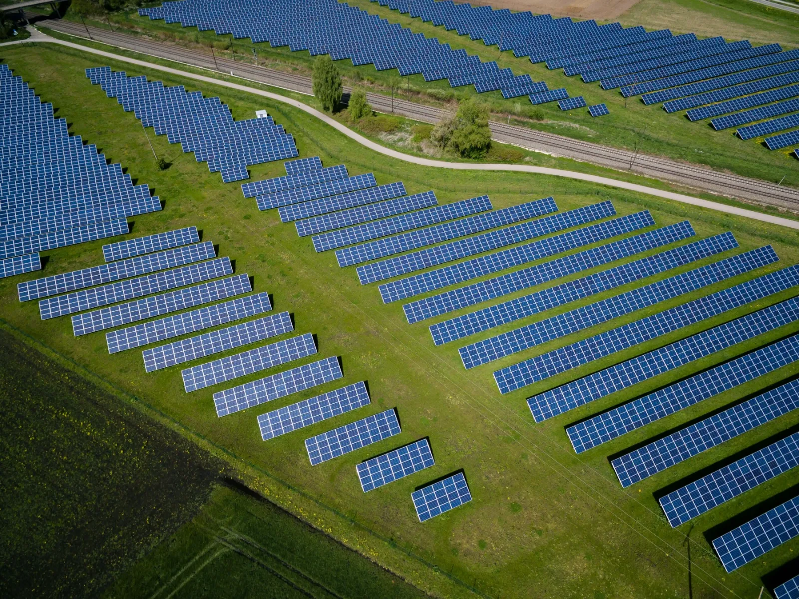
Drone Solar Panel Inspection: Thermal Checks Explained
How thermal drones inspect solar panels: faults they find, how inspections are flown, IEC 62446-3 conditions, drones vs ground checks and EU rules.


