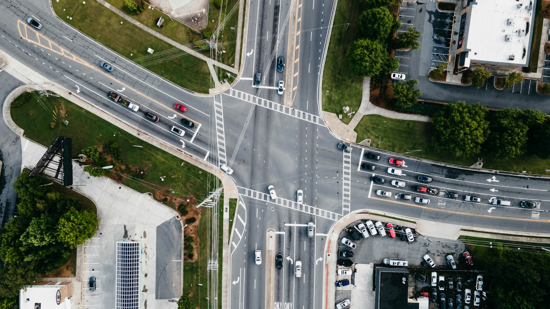
City intersection with traffic seen from above

Traffic Management Analysis

Drone Traffic Analysis for Cities

Contact Us

Flyby Guys works with cities to improve the flow of people and vehicles. We film streets, junctions and public spaces from above at peak times, so planners can see how traffic and pedestrians actually move, where queues form and where routes conflict.

A view from above shows the whole area at once, which is hard to get from ground counts or fixed cameras alone. For a traffic management project in Helsinki, we flew six drone pilots over three consecutive days for mobility analytics company MobiLysys, handling the planning, permits and data delivery. Read the MobiLysys case study.

Motorway interchange seen from above

Where it helps

  • Busy junctions and roundabouts at rush hour
  • Pedestrian flows around stations, squares and shopping streets
  • Events and match days, before, during and after
  • Roadworks and temporary traffic arrangements

We deliver aerial video and analysis of the problem areas, so changes to signals, layouts or routes can be based on what really happens at peak times.

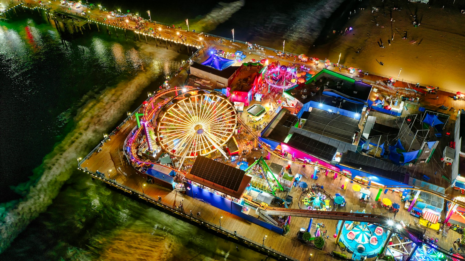
Busy event area at night seen from a drone

Traffic analysis FAQs

Why analyse traffic from the air?
A drone sees a whole junction or area at once, including queues, turning movements and pedestrian routes, which ground observers and fixed cameras often miss.

When do you fly?
At the peak times that matter, such as morning and evening rush hours, or before, during and after an event.

Is it allowed to fly over city streets?
Flights in towns usually need the specific category and an authorisation. We plan the flights and arrange the permissions.

Who is it for?
Cities, transport planners and event organisers who want to improve how people and vehicles move.

Read more in our guides to traffic monitoring with drones and drones for crowd control, or contact us.

City intersection seen from directly above