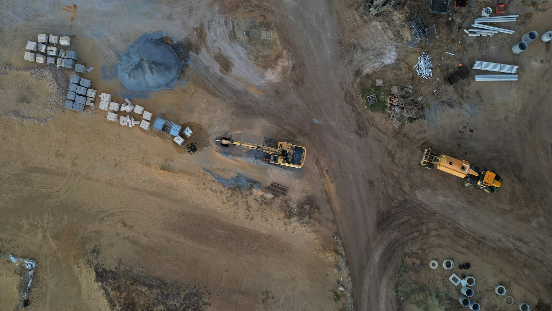
A drone panorama is a set of overlapping photos taken from one point in the air and stitched into a single wide or 360-degree image. Most current drones can shoot wide, vertical, 180-degree and spherical panoramas automatically, and stitch them on the controller. For professional results, shoot the frames yourself in manual exposure, stitch them on a computer and fix the sky, which the camera cannot see directly above the drone.
Table of contents
Types of drone panorama
Wide (horizontal). A row of frames for a wide landscape or skyline.
Vertical (vertorama). A column of frames from the horizon down towards the ground, for tall subjects or leading lines.
180-degree. Several rows covering the half of the scene in front of the drone.
Spherical (360). Rows of frames all the way around and down to the ground, for an image the viewer can look around in any direction.
How to shoot a drone panorama
Pick the spot and height. High enough to show the context, low enough to keep the subject large. Check the rules and airspace first.
Wait for steady light and low wind. Drifting cloud changes the exposure from frame to frame, and wind moves the drone between shots. See our drone weather guide.
Lock the settings. Manual exposure, fixed white balance and fixed focus, so every frame matches. Shoot RAW if the drone allows it.
Overlap the frames. Generous overlap between neighbouring frames, often around a third, gives the stitching software enough to work with.
Hold position. Rotate the drone and tilt the gimbal without moving the drone itself, so there is no parallax.
Shoot a few extra frames. Extra frames of the ground directly below and of any moving subjects make editing easier.
Stitching and editing
In-app stitching is fine for social media. For print, virtual tours and client work, stitch the original frames in desktop software such as PTGui or Adobe Lightroom, then edit the result.
Fix the sky. A drone camera cannot point straight up, so a spherical panorama has a hole above the drone. Fill it with a matching sky or a logo.
Remove the drone's shadow and legs. They can appear in frames taken straight down.
Check the horizon. Level it, especially before publishing a 360 image.
Keep the original frames. They let you re-stitch at higher quality later.
Sharing 360 panoramas
A spherical panorama is saved as an equirectangular image, twice as wide as it is tall. Viewers and social platforms recognise it as 360 from its metadata. You can share it as a single image, embed it on a website with a 360 viewer, or link several panoramas into a virtual tour with hotspots.
Where drone panoramas are used
Construction. Aerial 360 views from the same point each week give remote teams a clear picture of progress. See our 360 walkthrough service and our guide to 360 walkthroughs for construction sites.
Property and development. Views from the height of future apartments, and the surroundings of a site or building for sale.
Tourism and venues. Interactive views of hotels, resorts, ski slopes and event venues.
Events. A single image that captures the scale of a festival or sports event. For real-time coverage, see drone live streaming.
Planning and communication. Showing residents and stakeholders what an area looks like today before a project changes it. See drones in urban planning.
Common problems and fixes
| Problem | Likely cause | Fix |
|---|---|---|
| Visible seams or ghosting | Drone moved, or not enough overlap | Shoot in calmer conditions with more overlap |
| Bands of different brightness | Auto exposure, or changing light | Use manual exposure and wait for steady light |
| Cut-off or doubled people and cars | Movement between frames | Shoot extra frames and mask in the cleanest one |
| Hole at the top of a 360 | Camera cannot see straight up | Add a sky patch when editing |
Rules and privacy
A panorama flight follows the same rules as any other drone flight: the operational category, distance from people, height limits and airspace restrictions. Check where you can fly with our no-fly zone guide or Drone Assistant. A 360 image shows everything around the drone, including gardens, windows and people. In the EU, identifiable people in images are personal data, so avoid capturing them where you can and blur them before publishing.
Need aerial panoramas or 360 views of a site? Contact Flyby Guys.
Frequently asked questions
Can any drone take a 360 panorama?
Most current camera drones have a built-in sphere mode. With other drones, you can shoot the frames manually and stitch them yourself.
Why does my drone 360 have a blurry or missing sky?
The camera cannot tilt straight up, so the area above the drone is missing or filled in by the app. Replace it with a sky patch when editing.
What resolution is a drone 360 panorama?
It depends on the camera and number of frames. Stitching the original frames on a computer gives a much larger image than the in-app version.


