Blogs
Blogs
Blogs
Blogs
Blogs
Blogs
Blogs
Blogs
Blogs
Blogs
Blogs
Blogs
Blogs
Blogs
Blogs
Blogs
Blogs
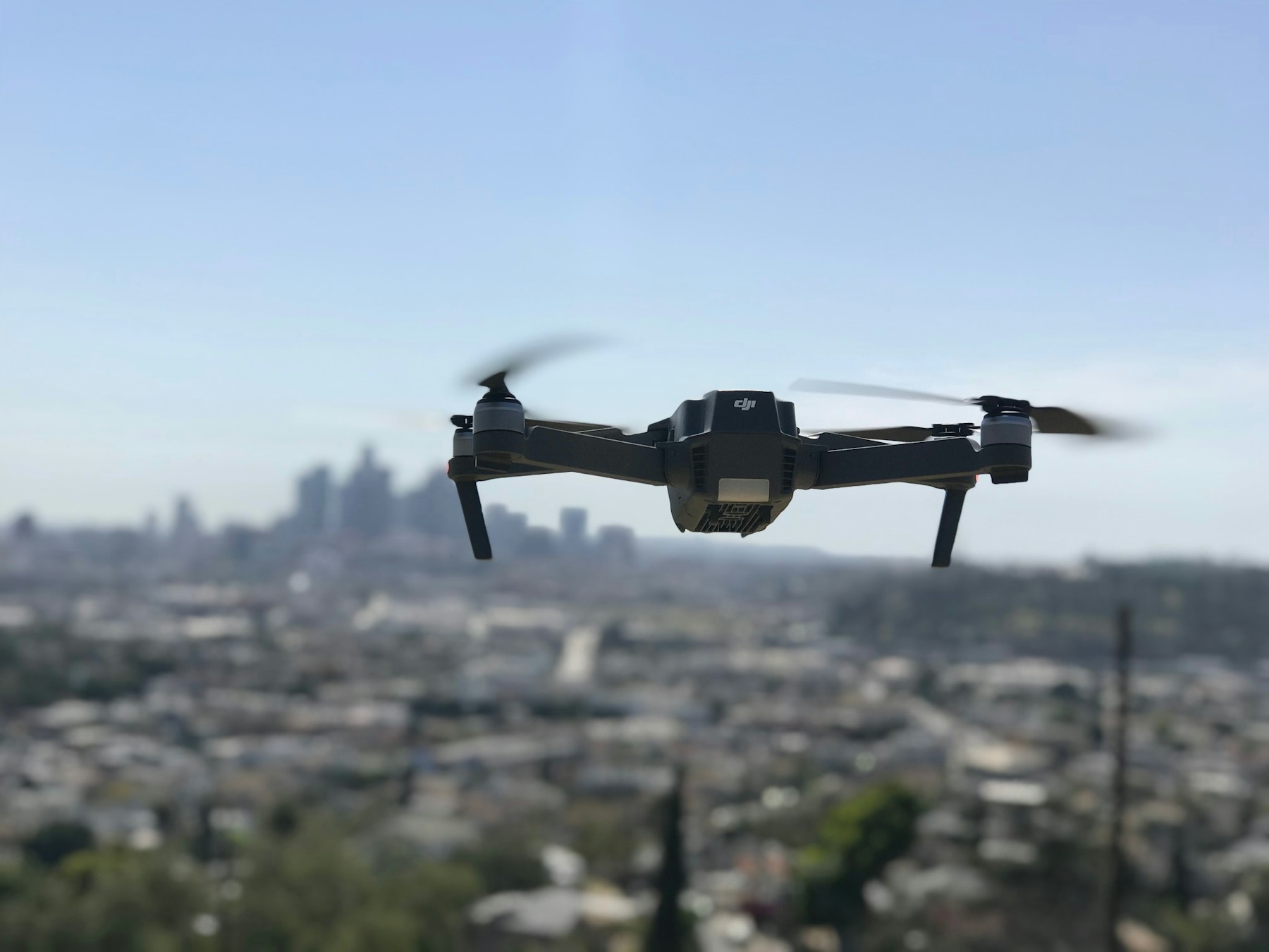
Photogrammetry vs LiDAR: Which Drone Survey Do You Need?
Photogrammetry vs LiDAR for drone surveys: how each works, accuracy, vegetation, cost, when to use which, and real mapping projects in Finland.
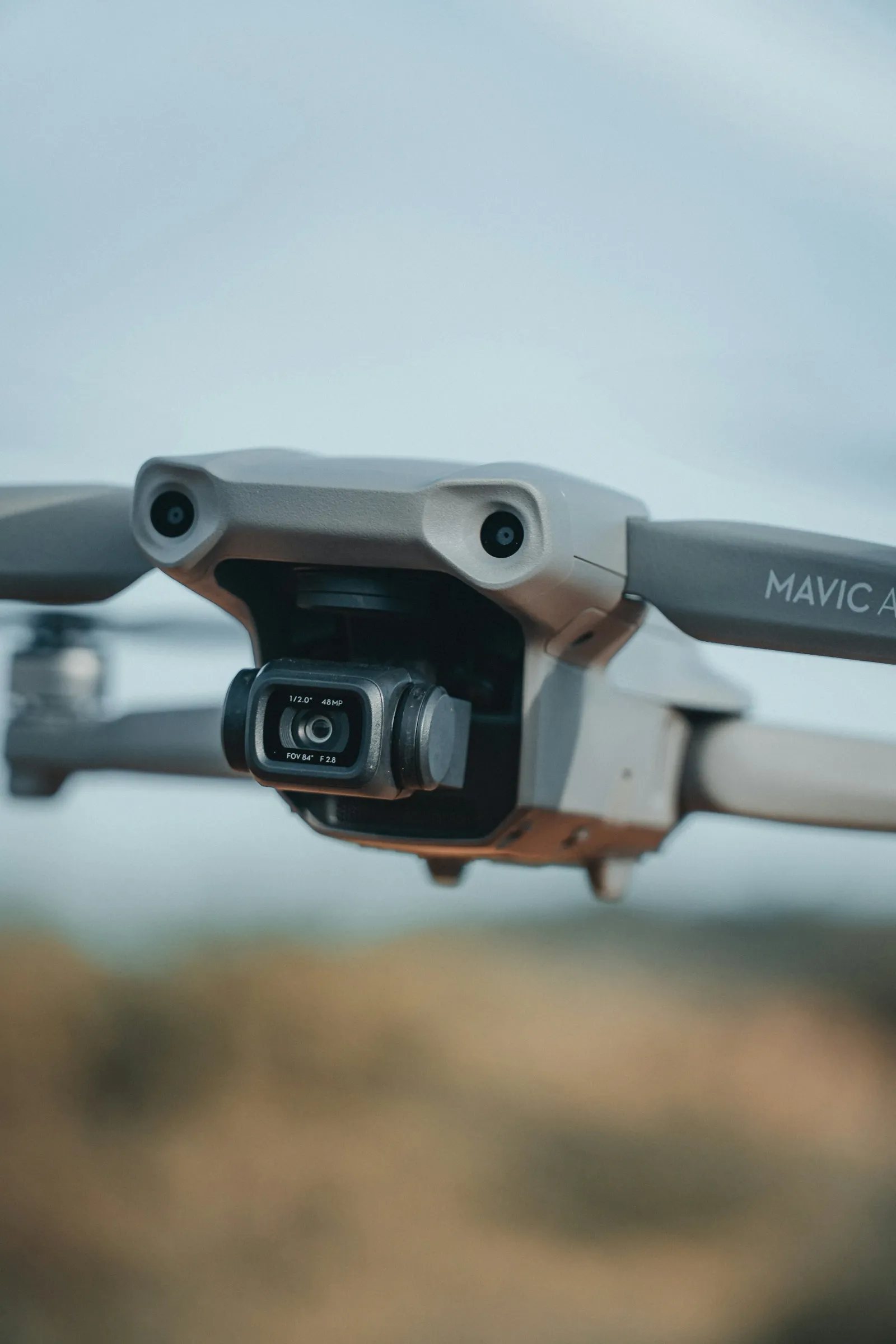
RGB vs Multispectral Drone Sensors: Which to Choose
RGB and multispectral drone sensors compared: how each works, what NDVI shows, calibration, typical uses and how to choose the right sensor for a job.
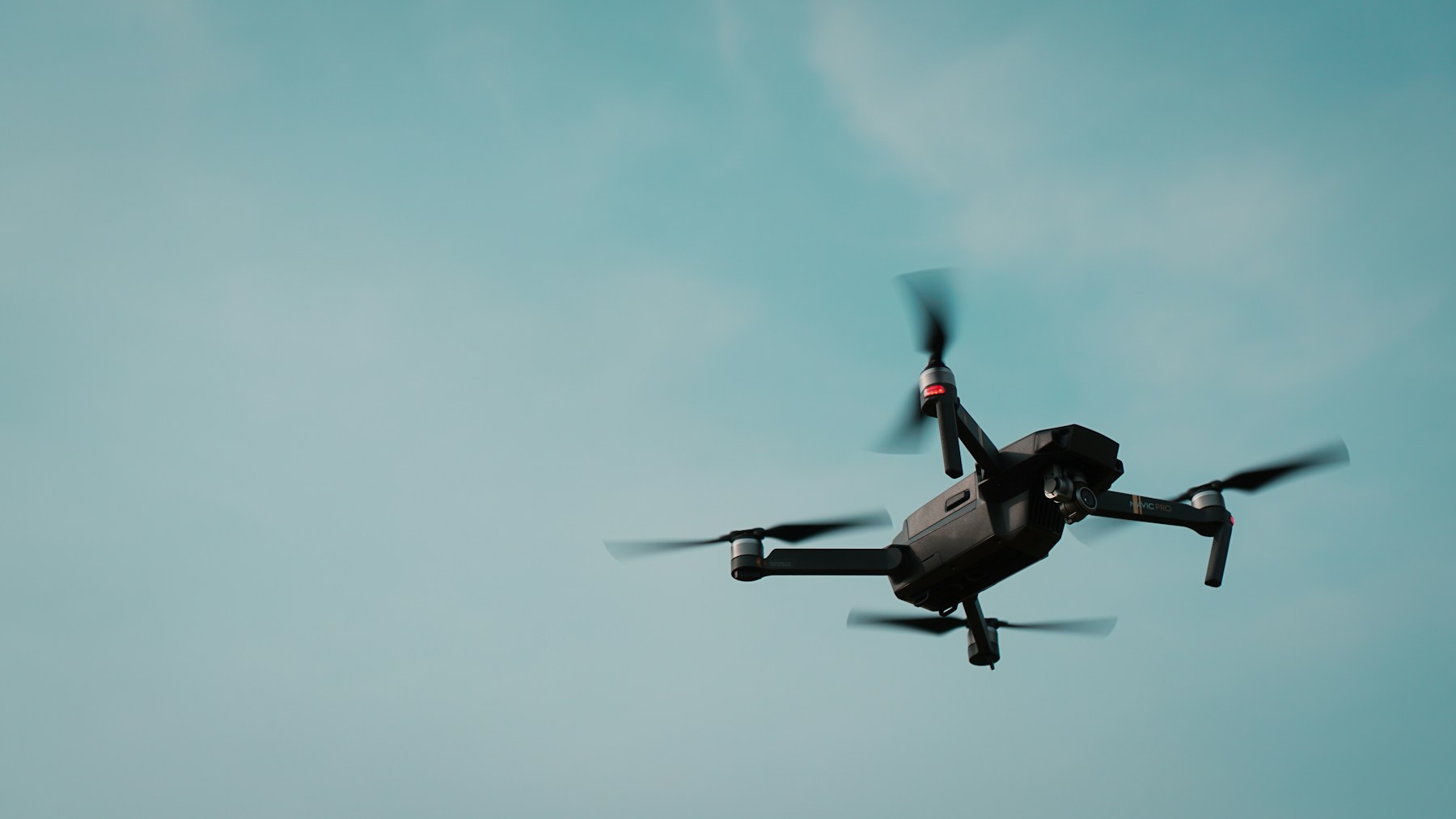
DSM vs DTM (and DEM): LiDAR and Drone Mapping Explained
DSM vs DTM explained: what each elevation model shows, how drones and LiDAR create them, when to use each, and how DEM fits in.

Drone Railway Inspection and Monitoring: A Practical Guide
How drones inspect and monitor railways: track, overhead lines, bridges, cuttings and vegetation, with fewer people trackside and less disruption.

Drones at Airports: Inspections, PAPI Checks and Safety
How airports use drones: PAPI and navaid checks, runway and lighting inspections, buildings, obstacle surveys, wildlife, rules and counter-drone safety.
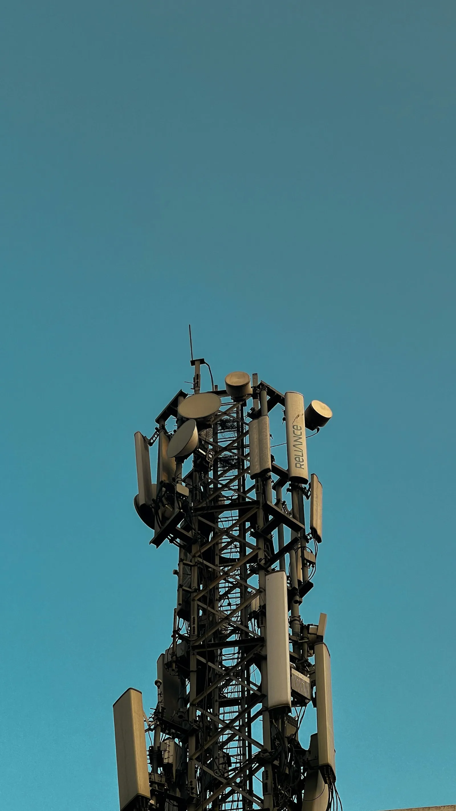
Telecom Disaster Recovery: How Drones Speed Up Restoration
How drones speed up telecom disaster recovery: rapid tower and fibre damage checks, temporary coverage from tethered drones, preparation and the rules.
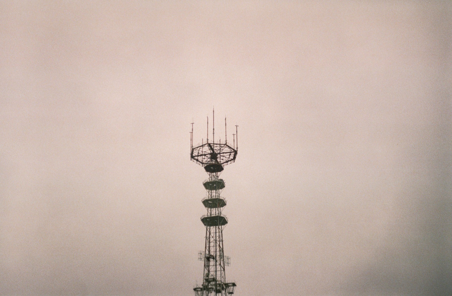
Point-to-Point Microwave Links: Planning and Drone Surveys
How point-to-point microwave links work, what decides a good path, Fresnel zone clearance, and how drones speed up line-of-sight surveys and checks.
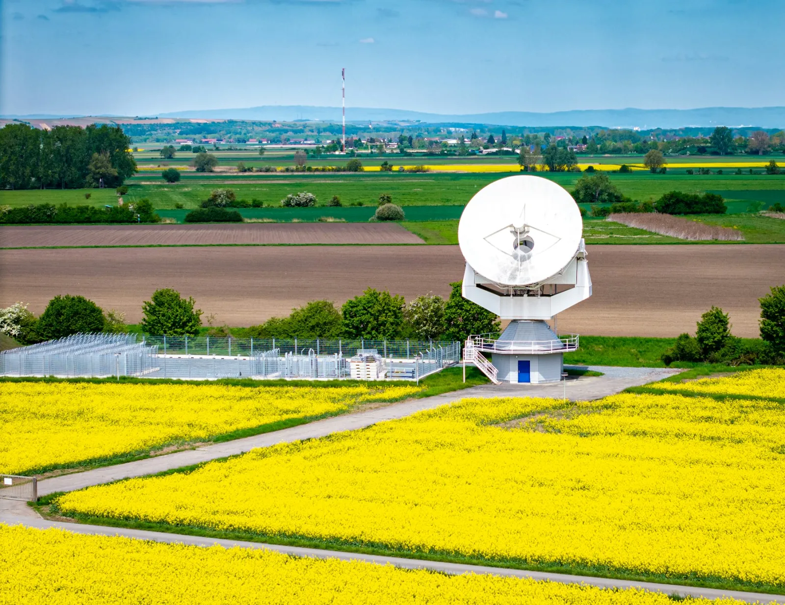
Satellite Ground Station Inspection and Testing with Drones
How drones inspect and test satellite ground stations: dish and feed inspections, reflector surface surveys, antenna beam measurements and site security.
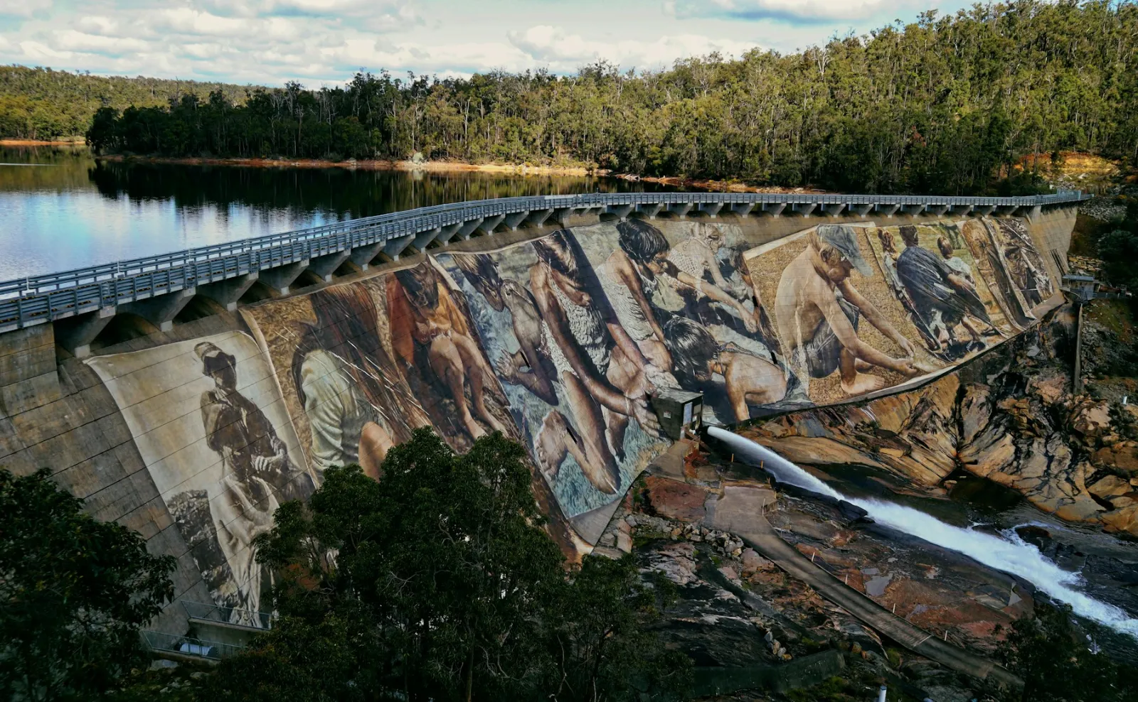
Drone Dam Inspection: Hydroelectric Dams and Spillways
How drones inspect hydroelectric dams: concrete faces, embankments, spillways, penstocks and reservoirs, plus sensors, methods, safety rules and limits.


